Icon for the Exploring Winnipeg Parks website
Header photo of a park with the Exploring Winnipeg Parks icon
X.com Instagram
Winnipeg Parks
River Heights
Riverview
Donald Riverbank

Donald Riverbank

The Donald Riverbank runs along the west shore of the Red River, running from Mulvey Ave E in the south, all the way to the Norwood bridge in the north. The park area offers a long gravel pathway running parallel to the Southwest Transitway and the nearby railroad tracks, providing pedestrians and cyclists a convenient route between the southeast River Heights area and downtown.
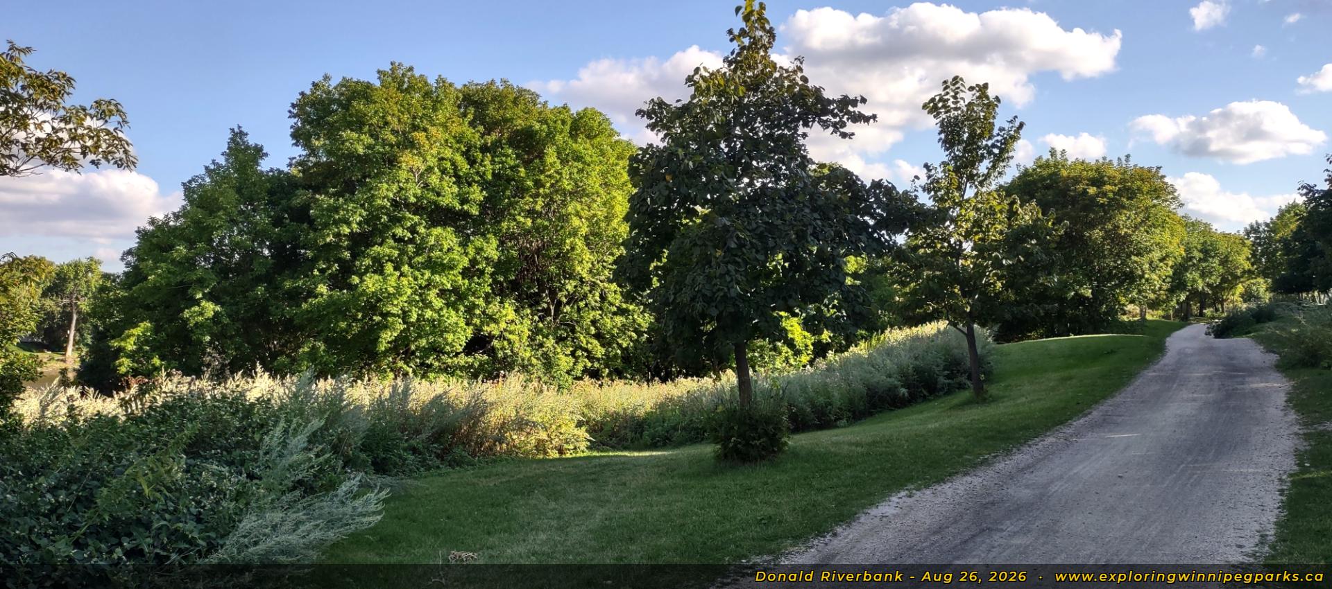
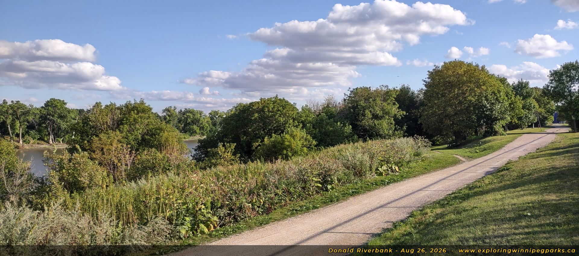
Photo Gallery
Donald Riverbank - Northeast Corner
Welcome to the Donald Riverbank! A long trail runs alongside the treeline near the Red River, east of Donald St and the Southwest Transitway, and a little ways southwest of the Norwood bridge. Facing southwest.
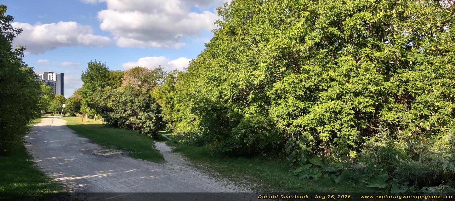
Donald Riverbank - North Pathway Split - Facing South
The trail continues southwest as it splits ahead, with the smaller trail leading through the treeline. Facing south.
Donald Riverbank - North Pathway Split - Facing NE
View from the south end of the same trail split, offering a peek at the Donald Ave skyline. Facing northeast.
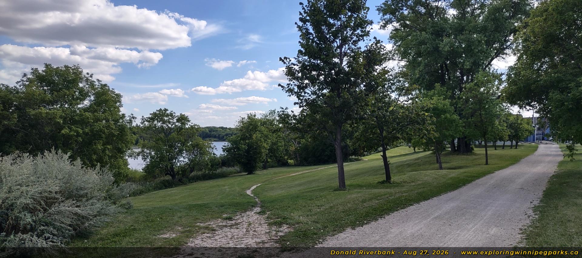
Donald Riverbank - South Clearing - Facing SW
The trail continues past a clearing, where a break in the trees offer a slightly-obstructed view of the Red River. Facing southeast.
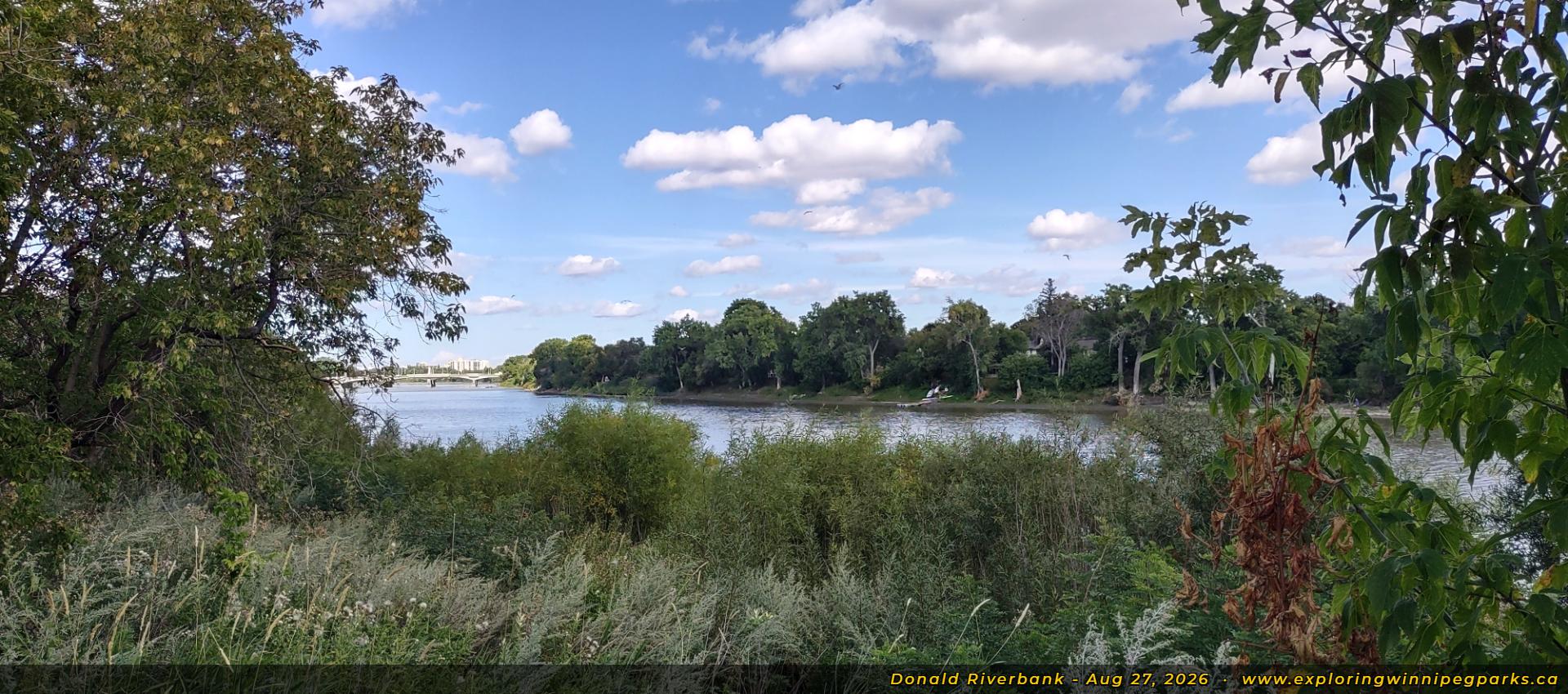
Donald Riverbank - South Clearing - View of Red River
Wandering up closer to the riverbank offers a view of the Red River, with the Norwood bridge visible in the distance. Facing northeast.
Donald Riverbank - South Clearing - Facing NE
View from the south end of the same clearing, facing northest.
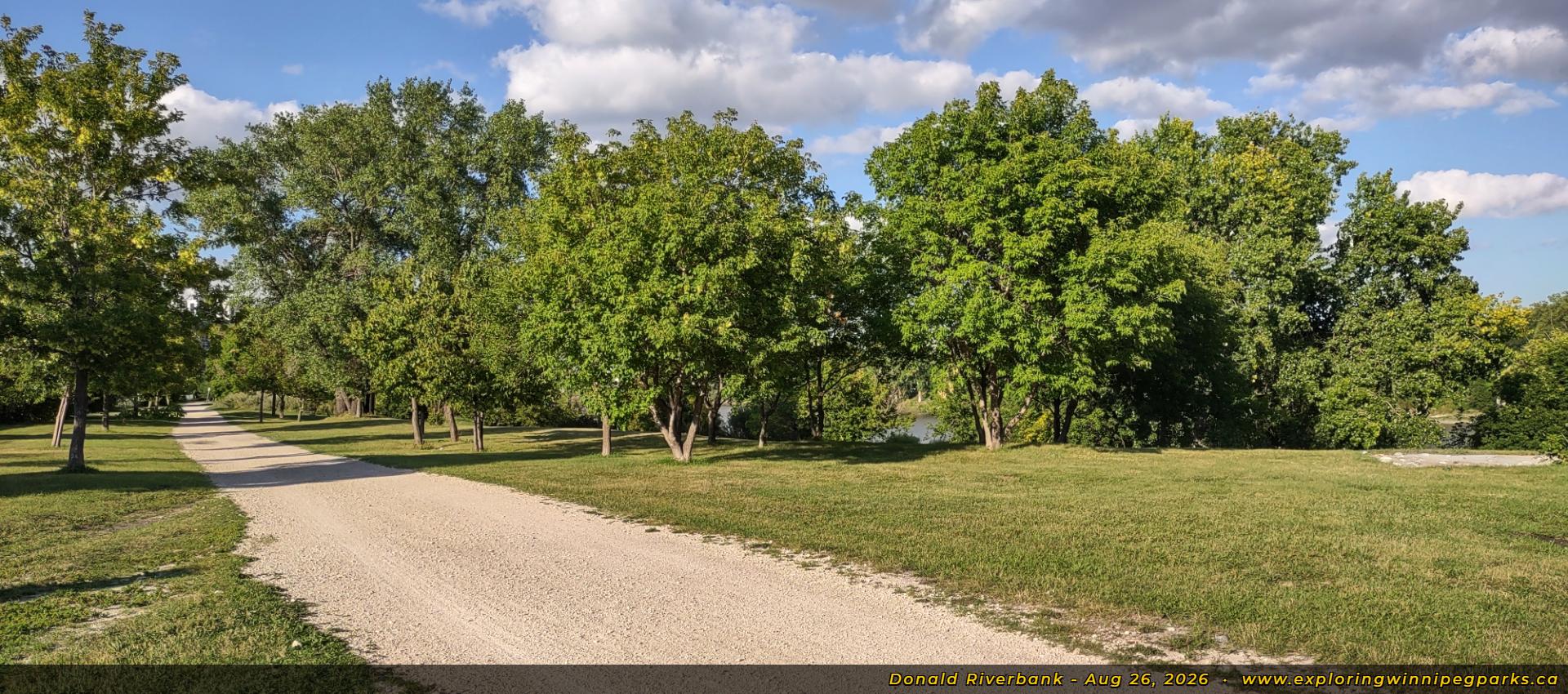
Donald Riverbank - South Corner
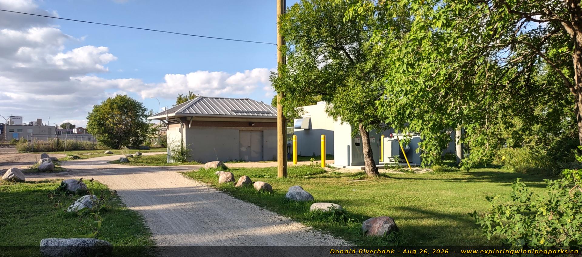
The long trail winds around a group of city maintenace buildings, coming from the south, just north of Mulvey Ave E. Facing north.

Location

River Heights
Riverview
Nearest major intersection is Corydon Ave at Pembina Hwy

Media

Download Photo Gallery
Ko-fi - Blog and Wallpapers

Share Your Thoughts

Share this Gallery on Social Media:
Facebook Icon X.com Icon Reddit Icon

Transportation

Nearby Bus Routes:
F6
McGregor - Osborne
D19
Corydon
B
BLUE
FX3
Regent - Grant
F5
McPhillips - Donald
F8
Henderson - Pembina
South Winnipeg Parkway

Nearby Parks

River - Osborne Community Centre (west)
Don Togo Park (south)